
Temple Neighbors Around a Block
A block search should match the source to the question. Bell CAD provides the appraisal account and the parcel’s situs, while the linked map helps place nearby parcel polygons. The Clerk’s recorded-document index can establish a title event. Bell Elections maps show precinct and election-jurisdiction context. Community organizations can offer a public-facing contact route, but the research did not locate a verified citywide association roster for Temple. Do not turn any of these sources into a roster of people at nearby homes.
| Temple block source | What it can establish | Access route |
|---|---|---|
| Bell CAD property search | Parcel situs, owner of record, legal description, and account identifiers | Official online property search |
| Bell CAD Interactive Maps | Parcel outlines, road alignment, and adjacent polygons | Official linked map route |
| Bell County recorded search | Deed, plat, easement, or other recorded title event | Online index and Clerk request channels |
| Bell Elections maps | Precinct boundary and election jurisdiction context | County map and state lookup links |
| Local organizations | Public announcements, neighborhood names, and civic context | Organization’s public contact route |
Start with a street number and name, then keep separate notes for a parcel, an owner of record, a map feature, and a public community contact. That separation avoids turning an address question into a claimed block identity.
Temple Parcels and Adjacent Lots
Bell CAD’s property search has address, owner, property ID, geographic ID, and advanced-search modes. Its results may show a situs address, legal description, mailing address, tax-year label, and owner of record. Use the street name without prefix, suffix, or unit when matching fails. The district cautions that its legal-description and acreage information is for research and should be verified for legal purposes. A map polygon is useful for proximity, but it is not proof that a parcel’s owner lives there.
The official Bell CAD Interactive Maps route is the appropriate parcel-map source. The research confirmed that it is linked by Bell CAD, but dynamic layer names, map dates, export controls, and measurement tools were not exposed in the static review. Use only the live labels and controls that the viewer presents on the day of the search.
- Enter the target address in Bell CAD property search and record the situs plus the property or geographic ID.
- Open the linked map and locate the parcel. Identify only the surrounding parcel polygons needed for the immediate block question.
- Return each adjacent property or geographic ID to Bell CAD for the authoritative account label and legal-description context.
- When a change of ownership matters, search the named party, subdivision, instrument number, or date range in the Bell County recorded index.
- Label a result as parcel, owner of record, or title event. Do not relabel it as an occupant finding without an independent dated source.
For a full named-street chain rather than the immediate block, use the Temple streets reference. Its address workflow is broader than a small surrounding-parcel review.
Note: Record only the adjacent parcels needed for the question, then retain the source date beside every parcel label.
Temple Neighbors, Owners, Occupants
Owner, mailing, and situs fields carry different meanings. The situs is the physical location assigned to the parcel. The mailing address is where a tax notice or owner correspondence goes, and it can be outside Temple or Bell County. A legal description identifies the lot, block, abstract, or metes-and-bounds description in the record. A trust, estate, business, or multiple people can be the owner of record.
That is why a block map can establish adjacency without identifying the household. A deed is recorded after execution and may lag occupancy. A mailing line is not a residence finding. Keep the record’s own label in the notes, and seek an appropriate second source only when the historical question calls for one.
- Situs address
- The parcel’s physical address as assigned in an appraisal record. It is an address anchor, not proof of who lives there.
- Mailing address
- The tax-notice or owner-correspondence line. It may be different from the Temple property.
- Legal description
- The lot, block, abstract, or boundary description in a deed or plat. It can help compare a historic record with a current parcel.
- Adjacent parcel
- A surrounding map polygon. It shows a spatial relation and still needs the authoritative account for record details.
Note: Do not copy full account numbers, valuation details, or protected information when the block question only needs parcel context.
Temple Neighbors and Precincts
Precinct maps can explain civic boundaries around an address. Bell County Elections provides a precinct map, a searchable precinct web map, voter-registration information, and the state’s individual “Am I Registered?” route. Use the map to confirm a place’s election jurisdiction, not to create a residential roster. Election dates and map details can change, so use the current county or state calendar rather than carrying forward an old schedule.
Texas Election Code rules make some voter information public while protecting SSN, driver-license, and related identifiers. The SOS address-confidentiality rules also allow residential addresses to be suppressed for eligible protected people. A voter registration or participation record is an event record, not an assertion that a person lives at the address now.
Bell County Elections is the local route for precinct questions and registration changes. For an individual status question, use the state lookup; for an administrative record, use the county or state request path and its applicable limits.
Temple Neighborhood Names and Groups
Community organizations supply a different layer from a parcel record. They can offer public announcements, neighborhood vocabulary, event context, or a contact route. They should not be treated as a source for private member lists. North Point Temple is the concrete neighborhood-association example found in the research. Keep Temple Beautiful is a local nonprofit with public-facing leadership and city-connected civic work. Neither source should be mined to build a personal household list.
North Point Temple
North Point Temple publishes public association material such as announcements, board, annual, and news pages. Use it for a public community contact or neighborhood-history lead.
Keep Temple Beautiful
Keep Temple Beautiful provides a public civic context and can help identify community initiatives without supplying a roster of nearby residents.
The North Point Temple public page is the assigned community-organization source for this search.
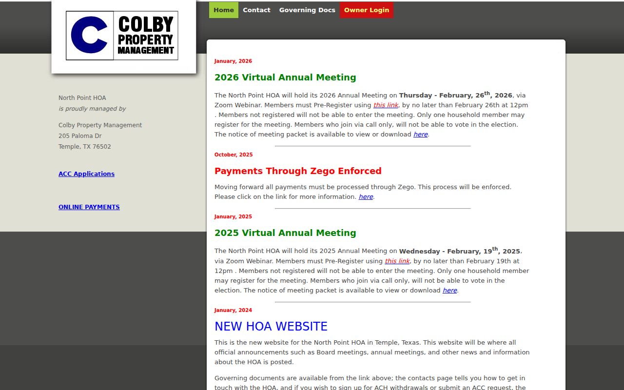
Public board and announcement information can help a reader find a legitimate contact point. It does not authorize collection or redistribution of private member details.
Note: Use a public organization contact instead of seeking private resident information through an association.
Temple Neighbors in Historic Records
Older block questions require dated sources. The 1893 Temple Sanborn set has eight sheets, and the UT collection records a 1922 Temple sheet 18 map. These maps can place structures, boundaries, building uses, and street or block numbers in time. Pair that context with a directory, Telegram item, deed, or plat before linking it to a historical household. A map is evidence about the built place, not direct evidence of a resident.
Temple directories have verified bibliographic mentions for selected years, including 1913, 1915-16, 1921-22, and 1924, but no continuous Temple reverse-directory run was verified. Search a volume’s name and address sections separately when present. The UNT Temple Telegram collection is another corroborating source for a street, business, event, or obituary reference, provided its issue date and item information are saved.
Temple’s early rail development and the historical “Tanglefoot” nickname can be useful date-specific newspaper search terms for an old block. They are not evidence about a modern household.
Temple Neighbor Tools Compared
Official records and commercial lookup tools answer different questions. An official parcel account has a named custodian, a field label, and a record purpose. A commercial tool can combine old public material and other data, but it may not disclose its source dates, correction path, or why a name was connected to an address. Neither type should be used to infer current occupancy from an ownership record.
| Source category | Best use for the nearby block | Limit to keep in mind |
|---|---|---|
| Official parcel and deed records | Parcel relation, owner-of-record label, legal description, and dated title event | They do not establish every current or former household member |
| Official election maps and requests | Precinct context and lawful election-record access | Protected address rules and anti-commercial-use limits still apply |
| Community organization pages | Public contact route, announcements, and local vocabulary | Not a private member directory or an address source |
| Commercial lookup tools | Category-level lead only, if a reader independently evaluates it | Source dates, accuracy, and correction methods may be unclear |
Choose the official custodian when a documented parcel or title fact matters. The Bell County Clerk’s recorded search can be followed by a specific request through its available mail, email, hand-delivery, fax, or web route when the online index does not answer a narrow record question.
Note: Compare the source date, field label, and custodian before relying on a nearby-address result.
Temple Neighbor Lookup Privacy
Public availability is not permission to republish everything. Keep only the agency, record class, date, jurisdiction, and short fact necessary for the question. Do not post full dates of birth, personal phone or email, signatures, protected residential addresses, victim or juvenile material, or an unredacted public-record packet. A protected voter address must not be reconstructed from a substitute address or a collection of nearby records.
Lawful use. This kind of Temple public-record research can support civic curiosity, a community contact, or an address-history question. Do not use public information to monitor, harass, intimidate, or harm anyone.
The Texas Address Confidentiality Program provides a substitute mailing address for eligible participants, and SOS voter-address rules protect additional categories of residents. For an incorrect nonprotected field on an agency page, request a correction or annotation from that custodian. Do not expose more information while trying to resolve an error.